Geography
Chashniki district is located in the south of the Vitebsk region and covers an area of 1.5 thousand square kilometers. It was formed on July 17, 1924 and borders on the Beshenkovichi, Lepel, Senno districts of the Vitebsk region and the Krupsky and Borisov districts of the Minsk region.
The center of the district - the city of Chashniki - is located 100 km from Vitebsk and 200 km from Minsk, 3 km from the Orsha-Lepel railway. As part of the district of Novolukoml, 208 rural settlements.
Administratively, the district is divided into 7 village councils:
Ivansky, Krasnoluksky, Kruglitsky, Lukomlsky, Novozaryansky, Olshansky, Prozemlyansky.
The territory is located within the boundaries of the Chashniki plain. In the south-west and west is the Lukoml Upland. The highest point - 242 m - is 4 km from the village of Dobromysl. Of the minerals there are peat, clay, construction sands, sapropel. In the area there is a part of the landscape reserve of republican significance - Selyava, botanical reserves of local significance Sosnyagi, Lipniki have been created. 1/3 of the territory is covered with forests.
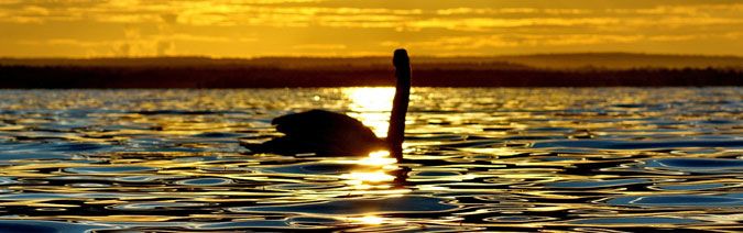
On the territory of the district there are rivers Lukomka, Ulla, Usveika, Essa, Baina, Yugna (Western Dvina basin). There are 70 lakes in the region, among them is Lake Lukoml, on the shore of which the largest in the republic Lukomskaya GRES was built.
On the western shore of Lake Lukomlskoye, a recreation area has been created, where the Sosnovy Bor health complex and the Yunost children's health camp are located.